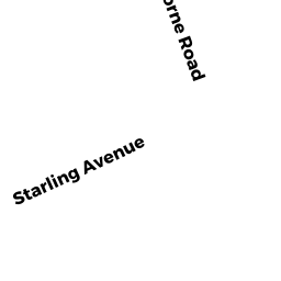
23 HAWTHORNE RD
Owner Information
O'KEEFE KEVIN M
23 HAWTHORNE ROAD
KINGSTON, MA 02364


Property Details
23 HAWTHORNE RD is classified as a Single Family Residential (Colonial).
The primary structure on this property was built in 1972. There are 2,836ft2 of built area within this property. There is 1,696ft2 of residential/living space within this property.
23 HAWTHORNE RD is valued at $357,700. The land is valued at $196,600 and the structures are valued at $156,600. There is an additional valuation of $4,500 on this property.
The most recent deed for 23 HAWTHORNE RD is recorded at the local registrar in Book 09748, Page 0325. 23 HAWTHORNE RD was last sold on Monday, May 14, 1990 for $155,000.
Assessment data from fiscal year 2021.
Flood Data
According to the FEMA National Flood Hazard Layer, this property does not appear to be in a flood zone. It may also be in an area not yet reviewed. Nonetheless, confirm this information prior to taking any action.
To view the flood hazards around this property, create a FEMA "Firmette" Map of the area around 23 HAWTHORNE RD.
Broadband Internet Providers
| Provider | Type | Bandwidth (mbps) | |
|---|---|---|---|
| Verizon New England Inc. | DSL | 5 | 0 |
| VSAT Systems, LLC. | Satellite | 2 | 1 |
| HughesNet | Satellite | 25 | 3 |
| GCI Communication Corp. | Satellite | 0 | 0 |
| Comcast | Cable | 1000 | 35 |
| Verizon New England Inc. | Fiber | 940 | 880 |
| Viasat Inc | Satellite | 100 | 3 |
Broadband service provider data from December 2020.
Adjacent Properties
- WAPPING RD
Undevelopable Residential Land owned by 30 HAWTHORNE REALTY TRUST - 30 HAWTHORNE RD
Potentially Developable Residential Land owned by 30 HAWTHORNE REALTY TRUST - 11 STARLING AV
Single Family Residential owned by MALONE TIMOTHY E & KAREN -TRS - 21 HAWTHORNE RD
Single Family Residential owned by LANCIONE KATLEYN & NICHOLAS A - 10 STARLING AV
Single Family Residential owned by LARVEY KATHLEEN M - 178 WAPPING RD
Mixed Use (Primarily Industrial, some Other) owned by 178 WAPPING ROAD LLC